
Public Land Map
Public Land
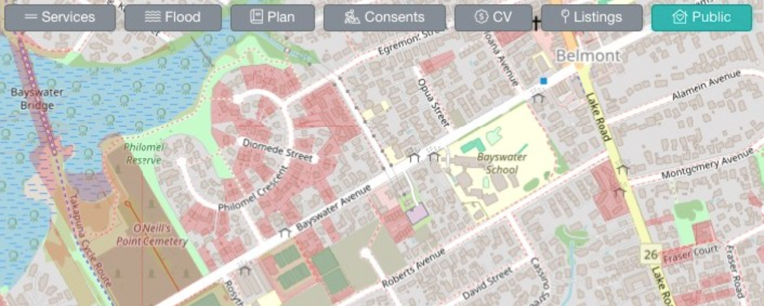
Click the Public Overlay button at the top of the map to view public land, indicated by a red overlay. This denotes land owned by the Crown (the New Zealand Government) and local authorities like Councils.
FAQS
Where is the Public land map view available?
Our public land overlay is available nationwide.
What do the red zones on the map mean?
Red areas on the map can indicate several different things:
- Public Land Overlay (when activated): Red overlay shows Crown or local authority-owned properties
- Base Map Features: Solid red colour or red dotted lines may represent:
- Highways
- Highway footways
- Other infrastructure elements
- CV Overlay: When zoomed out, areas with larger CV (Capital Value) changes appear in pink, which may look similar to red zones.
To avoid confusion between different red indicators on the map:
- Switch to the Boundary Map view instead of the default Map to remove background elements
- Turn map overlays like CV Overlay or Public Overlay on/off individually to identify which layer is showing red
- Check which overlays are currently active at the top of your map, these will be an teal rather than a grey colour